Habitat Mapping
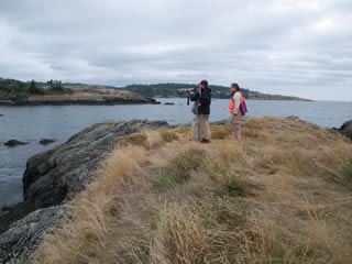
False Bay Islands survey crew
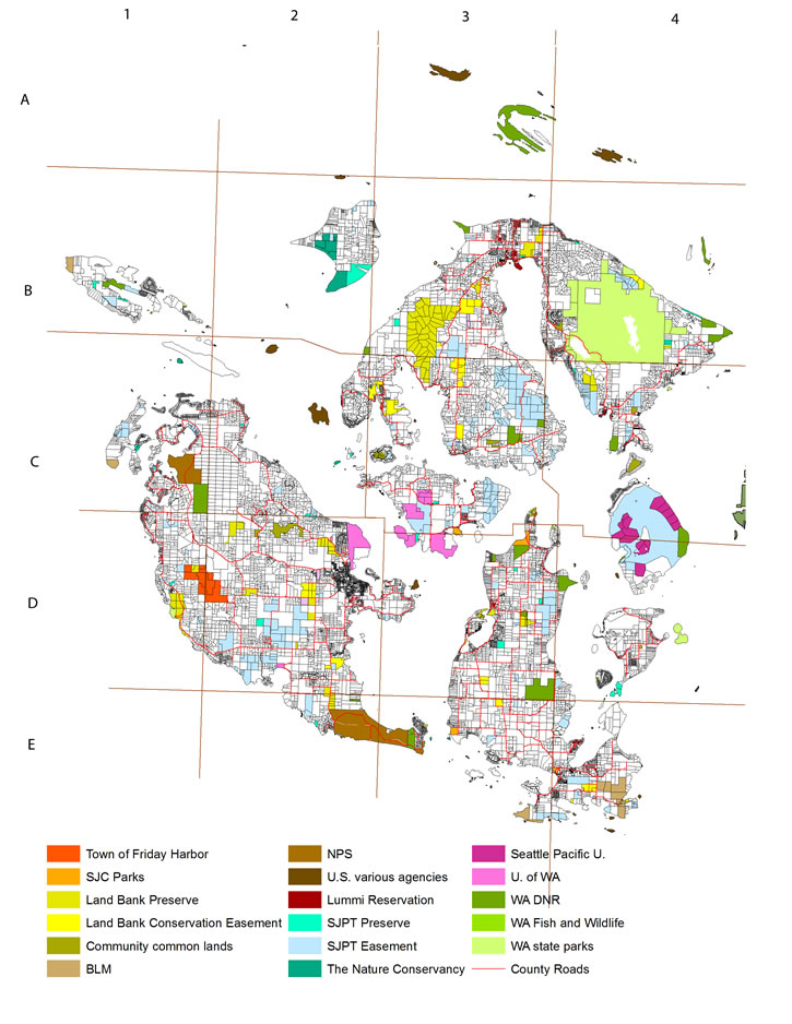
Unusual distributions of species, unique assemblages of species, and isolated genetically distinct populations (including cryptic species) are to be expected in an archipelago. The terrestrial ecosystems of the San Juan Islands remain poorly documented, however. More significantly, the public lands that comprise roughly one-fifth of the terrestrial land mass (and nearly two hundred small uninhabited islets) are managed by more than 15 agencies without consistent habitat maps or systematic species inventories.
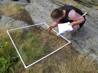
Botanical survey
Obstacles include inconsistent state and federal habitat classification schemes, disputed or poorly defined parcel boundaries, outdated or nonexistent maps and inventories, and rapid land use change. With support of the National Fish and Wildlife Foundation, Kwiaht visited and inventoried 45 uninhabited islands in 2011-2012. Ducks Unlimited and the Bureau of Land Management have supported parcel maps and draft data layers for public lands.
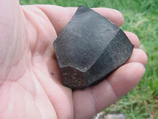
Dacite core left by Coast Salish toolmaker
Species distribution data are collected continually from Kwiáht inventories of particular parcels of interest, and hundreds of corroborated landowner reports. Major target groups are bats, other small native mammals such as squirrels and shrews, amphibians, reptiles, twenty rare butterfly species including the Island Marble (Euchloe ausonides insulanus), and more than forty plant species that are rare in the islands or within Salish Sea region as a whole, such as Oxytropis monticola, which in Washington State is found on one of the San Juan Islands and in one county on the east side of the Cascade Range.
Habitat maps are most useful if they are updated frequently with field monitoring data so that they remain accurate and can detect ecological trends; and include historical data for understanding the changing processes that created the particular species assemblages we observe today. At Kwiáht, historical change analysis draws on extensive archaeological data (locations of sites, and surface counts of faunal remains); published and unpublished ethnographic interviews conducted by Wayne Suttles, Sally Snyder and others from 1910 to the 1960s; field notes, letters, and collections by C.B.R. Kennerly and George Gibbs, who cooperatively inventoried wildlife and marine life in the islands in 1857-1861; the earliest nautical and topographic maps from 1842 to the 1890s; and aerial and landscape photographs in private collections and local history museums.
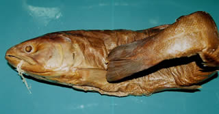
Salmon collected by Kennerly 1859
A parallel goal of Kwiáht's historical change research is connecting island children with historical sites and local archives, including maps and photographic collections that can be used to reconstruct past landscapes. The Orcas Island Historical Museum is a partner in re-discovering historical landscapes and ecosystems. Kwiáht also used GIS and spatial analysis of ecosystem processes as a focus for school science programs, and for our 21st Century Youth Conservation Service initiative.